

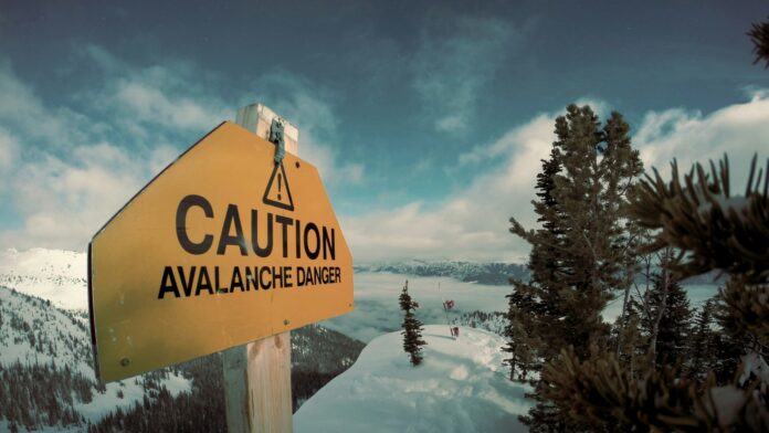

A late winter storm system passed through much of northern British Columbia this past weekend, dropping a significant amount of snow on Terrace, which was later followed by rising temperatures and periods of rain.
According to Avalanche Canada, unstable terrain is present, with a new layer of snow sitting on weaker material within the snowpack.
Storm slabs have a higher likelihood of being triggered, while avalanches could run all the way down to these deeper layers, potentially becoming much larger.
Travelers in backcountry regions have been advised to avoid any overhead hazards, while run-out zones should also be avoided. When traveling in high-risk avalanche terrain, travel is recommended to flat or low-angle terrain, far from avalanche run-out zones.
This warning follows several incidents, including a large avalanche near Terrace last week, which was triggered by a cornice fall, as well as natural avalanches.
Future avalanche risk is expected to increase, with up to 40 to 80 centimeters of new snow possible in alpine regions, while strong winds could shift and redistribute snow, increasing instability.