

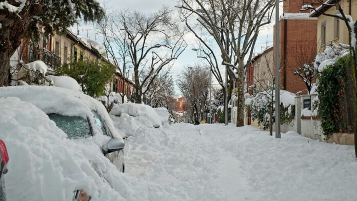

The Terrace and Kitimat region is expected to become a winter wonderland this weekend, with Environment Canada projecting up to 35 centimetres of snow in inland areas along Highway 37.
A frontal system is forecast to push onto the coast Saturday and begin to spread snow to some inland areas of the north coast in the morning. The snow is forecast to continue through Saturday evening, with the heaviest amounts forecast near Kitimat, with lighter snow expected in Terrace.
Environment Canada said there is the chance of freezing rain mixing in with the snow Saturday afternoon, as most of it will create slippery and hazardous travel. While the snow is expected to taper off by Saturday evening, some additional snowfall accumulations are still very possible on Sunday morning.
Motorists and pedestrians are being advised to expect challenging travel conditions on the roads and sidewalks, as visibility can drop to almost zero at times without much warning. Travel delays may be expected, especially on Highway 37 and in other nearby inland routes.
Residents are advised to plan accordingly and to continue monitoring Environment Canada alerts and forecasts as conditions change through the weekend.