

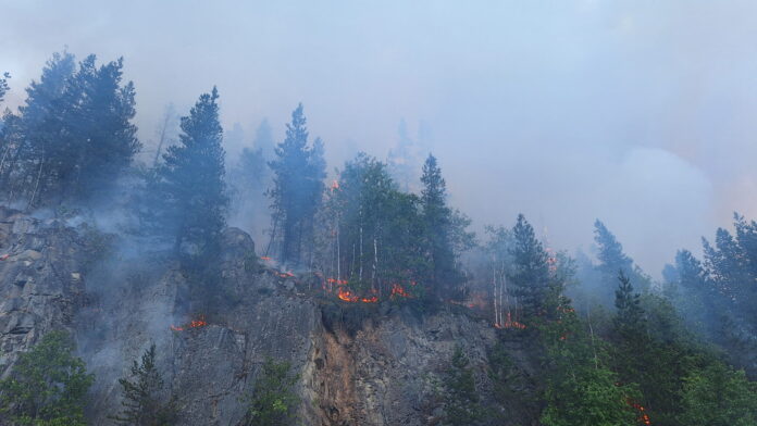

An out-of-control wildfire burning near Cedarvale has grown to an estimated 260.73 hectares, prompting an evacuation alert for the Coyote Creek area as firefighters continue to battle the blaze.
The wildfire is approximately 1.5 kilometers from Coyote Creek, near Cedarvale, located about 23 kilometers southwest of Kitwanga at the Highway 37 junction and about 68 kilometres northeast of Terrace.
The wildfire was first reported Wednesday evening at about 40 hectares in size and had a Rank 4 fire behavior, meaning that the fire spread at a moderately vigorous pace. The latest information given by BC Wildfire Service shows the wildfire having covered about 260.73 hectares in size.
According to BC Wildfire Service, the cause of the wildfire is suspected to be human activities. The exact cause, however, is still being investigated by BC Wildfire Service.
BC Wildfire Service stated that RCMP and Ministry of Transportation were helping with traffic management on Highway 16. The Gitwangak Fire Department also joined the fight against the wildfire while one Initial Attack crew stayed overnight.
The Regional District of Kitimat-Stikine and Gitwangak Band have issued an evacuation alert for the Coyote Creek area near Highway 16 due to the potential danger posed by the wildfire. Residents within the alert area are being asked to prepare to leave on short notice should an evacuation order become necessary.
The evacuation alert is a precautionary measure and is intended to give residents time to prepare in case conditions worsen. No evacuation order has been issued at this time.