
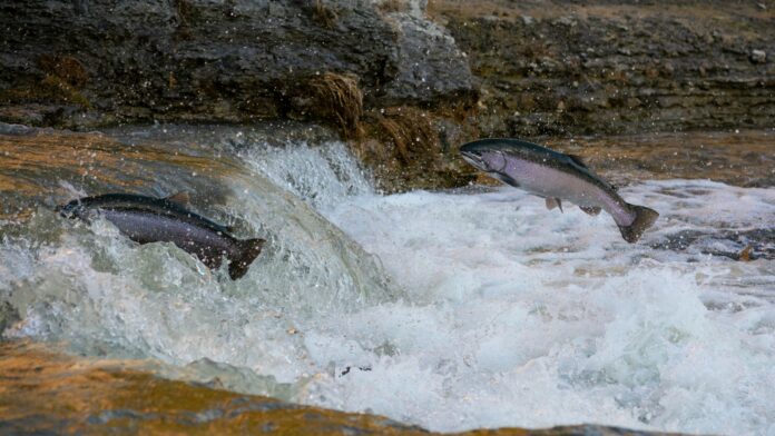

A new process for land-use planning in northwest British Columbia has the potential to expand protections for salmon habitat as climate change continues to shift where fish spawn.
The Ministry of Water, Land, and Resource Stewardship presented its concept to the Regional District of Kitimat-Stikine on Mar. 20. The early planning process is focusing on the Meziadin River area, which is located north of Terrace.
Officials said the planning is being driven by clear environmental changes already happening in the region.
“Fish are pretty smart,” said Ryan Holmes, director of regional initiatives with the ministry. “They follow water quality and quantity, and we’re starting to see that shift over time.”
Holmes explained that salmon spawning patterns have changed in recent years due to shifts in water conditions, including lower water levels in some creeks and colder glacier meltwater entering other creeks.
The Meziadin watershed is a major contributor to the salmon populations in the region, as 70 to 80 percent of all sockeye salmon in the Nass River system spawn in the area, which is a crucial part of the food source and cultural use for the First Nations.
While planning in the region is nothing new, the conservation efforts were implemented for the first time in the Nass South Sustainable Resource Management Plan in the early 2010s, including the establishment of the Hanna Tintina Conservancy.
However, a drought in 2015 and subsequent monitoring have shown salmon moving into other areas of the watershed, prompting calls for increased conservation efforts through adaptive management tools already included in the planning process.
The project is a collaborative effort involving multiple First Nations, including the Gitanyow, Nisga’a, Tahltan, Taku River Tlingit and Kaska Dena, along with the province and federal fisheries officials. Officials said there is shared interest among those groups in protecting salmon habitat while balancing other land uses.
The watershed is a sensitive environment and is also situated in the area of the region’s “Golden Triangle,” which has a number of interests that overlap, including mining, forestry, recreation, and large infrastructure projects like Highway 37 and transmission lines.
Despite this, the ministry indicated that the planning process will not directly approve or deny industrial projects, nor will it affect private land or fishing.
Instead, it will be a high-level land-use zoning and recommendation process, which will then be taken to the provincial cabinet for approval.
The current timeline for the planning process includes a 30-day review period from Mar. 30 to Apr. 30, followed by a public open house in Terrace in April, with final recommendations to be prepared in early summer, to be approved by the provincial cabinet between June and July.
The regional district voted to provide a letter of support for the planning process.